Land surveying
Land Surveying Services in Hoima Uganda — Accurate Topographical, Boundary & GIS Mapping
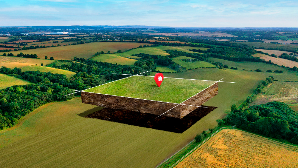
Elan Energies Limited provides professional land surveying services in Uganda for developers, homeowners, government agencies and investors. Our registered surveyors use modern GPS, total station and GIS technology to deliver precise boundary surveys, topographical maps, cadastral surveys, and construction layout services that protect your property rights and support quality development.
Our Land Surveying Services
We offer a full suite of surveying services in Uganda tailored to meet legal, construction and development needs:
- Boundary & Cadastral Surveys — Property boundary identification, title verification and boundary marking for land transfers and disputes.
- Topographical Surveys — Detailed contour mapping, spot heights, existing features and site conditions for planning and design.
- GIS Mapping & GIS Data Services — Geospatial analysis, mapping, and GIS layers for planning, land management and utilities.
- Construction Layout & Setting Out — Precise positioning of foundations, roads, and building footprints to ensure compliance with plans.
- Subdivision & Plotting Services — Professional plot subdivision, land parceling and preparation of plans for registration.
- Contour & Drainage Surveys — Terrain analysis for effective drainage, erosion control and stormwater planning.
- Elevation & Level Surveys — Accurate elevation data for earthworks and structural design.
- As-built Surveys — Post-construction surveys to record completed work for handover and record-keeping.
Why Accurate Land Surveying Matters
Professional surveying services in Uganda protect your investment, reduce legal risk, ensure compliance with local regulations, and enable correct design and pricing. Whether you are buying land, subdividing a plot, or starting a construction project, accurate survey data is essential to avoid costly disputes and delays.
How We Work — Our Surveying Process
- Initial Consultation: We discuss project goals, review existing documents (titles, plans), and schedule a site inspection.
- Desk Study & Title Check: We review land records and perform preliminary title verification to identify encumbrances or discrepancies.
- Field Survey: Our team conducts on-site measurements using GPS, total stations and drones (if required) to capture accurate coordinates and features.
- Data Processing & Map Production: Field data is processed into CAD and GIS formats. We produce plans, contour maps, and technical reports tailored to your needs.
- Delivery & Registration Support: We deliver survey plans, assist with submission to relevant land offices, and provide boundary marking and pegging as required.
- Follow-up: Ongoing support for any clarification, amendments, or additional surveys.
Who Needs Our Surveying Services?
Our clients include:
- Homeowners and prospective land buyers performing due diligence
- Property developers and real estate investors
- Construction firms needing accurate setting-out services
- Government agencies and municipalities
- Farms and agricultural projects needing land mapping
- NGOs and community water & land programs
Service Areas
We provide land surveying in Kampala, Wakiso, Hoima, Mukono, Entebbe, Jinja, Mbarara, Gulu and across Uganda. For remote sites we mobilize quickly and provide detailed field reports.
Deliverables You Receive
- Certified survey plans (CAD and printable PDF)
- Topographic maps with contours and spot levels
- GIS data layers (shapefiles, GeoJSON) on request
- Boundary coordinates and pegging reports
- As-built drawings and site verification certificates
- Technical survey report with recommendations
Common Questions (FAQ)
How long does a land survey take?
Typical small-site surveys take 1–3 days in the field with 2–5 days for data processing. Larger or more complex sites (multiple hectares or dense vegetation) may require longer. We provide timelines in our proposal.
How much does land surveying cost in Uganda?
Costs vary by survey type, site size, accessibility and legal requirements. We provide transparent quotes after an initial consultation and site assessment. Our pricing reflects quality equipment, certified surveyors, and full deliverables.
Do you handle title verification and registration?
Yes. We assist with title checks, preparation of survey plans for registration, and submission guidance to land registry offices. We do not replace legal advice but work closely with conveyancers and land registries.
Can you mark my property boundaries on site?
Yes. Our boundary surveys include pegging and marking with coordinates and visible markers. We provide pegging records and coordinates for future reference.
Do you use drone surveying?
We deploy drone (UAV) mapping for topographical surveys and large sites where aerial imagery speeds up data capture and improves accuracy. Drone use depends on site permissions and project needs.
Why Choose Elan Energies Limited?
- Certified Surveyors: Registered professionals with field and legal experience.
- Modern Equipment: GPS RTK, total stations, drones, and GIS software for high accuracy.
- Local Knowledge: In-depth understanding of Ugandan land laws, registry processes and local conditions.
- Transparent Reporting: Clear deliverables, maps and support for registration.
- Fast Turnaround: Efficient fieldwork and professional data processing to meet project deadlines.
Get a Survey Quote
Protect your land and development plans with professional surveying. Contact Elan Energies Limited for a no-obligation site assessment and detailed quote.
Phone: +256 393 102976
Email: info@elanenergies.com
Get Free Quote
- CCTV – Home Security Systems in Uganda
- Borehole Drilling
- Welding and Fabrication Services
- Landscaping & Outdoor Works
- Interior Designing Services in Uganda
- Real Estate Services in Hoima, Uganda
- Turnkey Solutions in Uganda
- House construction
- Plumbing and Water Systems
- Electrical Engineering
- Architectural Design
- Internship & Skills Development
- Structural Civil Engineering Uganda
- Solar Installation in Uganda
- Modern House Design
- Civil Engineering Services
- Plumbing Solution